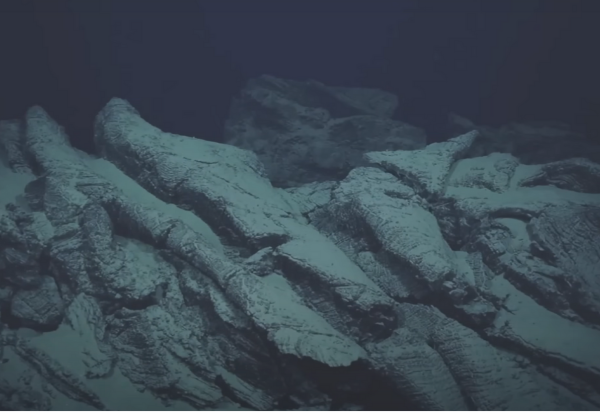
Underwater Archaeology Maps
Underwater Archaeology Mapping Solutions Revealing History Hidden Beneath the Surface
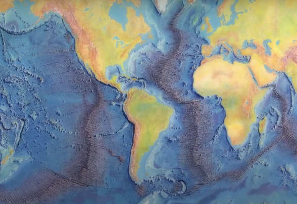
Seafloor Classification Maps
Understand the Ocean Floor Like Never before. Accurate Classification of Seabed Composition
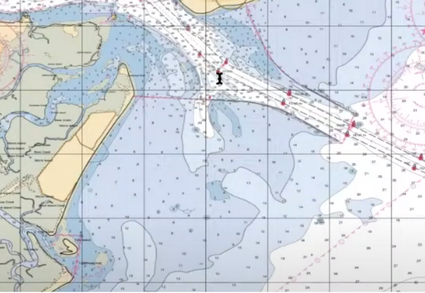
Hydrographic Charts
We use multibeam sonar, GPS, and satellite data to ensure navigational accuracy and compliance.
Nautical Publications
We provide critical information for mariners, including tide tables, sailing directions, and notices to mariners.
Sailing Charts
Our sailing charts offer precise nautical details including depths, coastlines, currents, and hazards.
Fishing & Marine Habitat Mapping
We provide detailed maps of fishing zones and marine habitats to aid sustainable ocean resource management.

Coastal Tourism Maps
Our coastal tourism maps highlight beaches, landmarks, marine parks, and water activity zones.
Marine Research Maps
Our marine research maps support academic and institutional studies with high-resolution oceanographic data.