As a global provider of AI-based innovative solutions, we specialize in delivering high-quality Geospatial and Hydrographic solutions.
Our expertise spans a broad spectrum of services designed to meet the diverse needs of our clients.
What We Offer
Whether you are a government agency, a private enterprise, or an environmental organization, HyCAM is your trusted partner in hydrographic charting and mapping. Together, we can navigate the waters of today and chart a sustainable course for the future
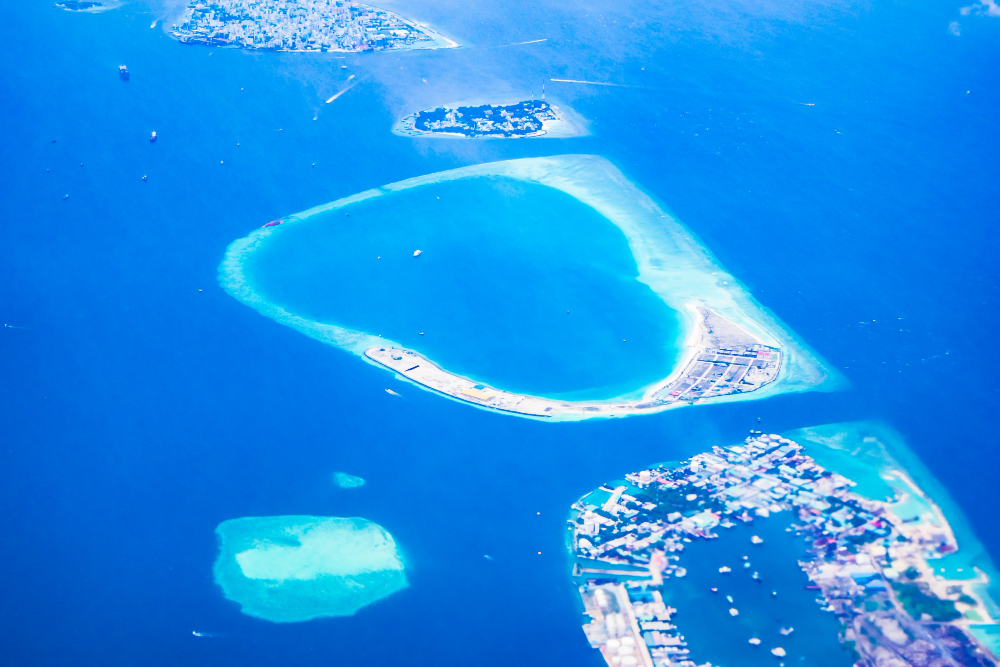
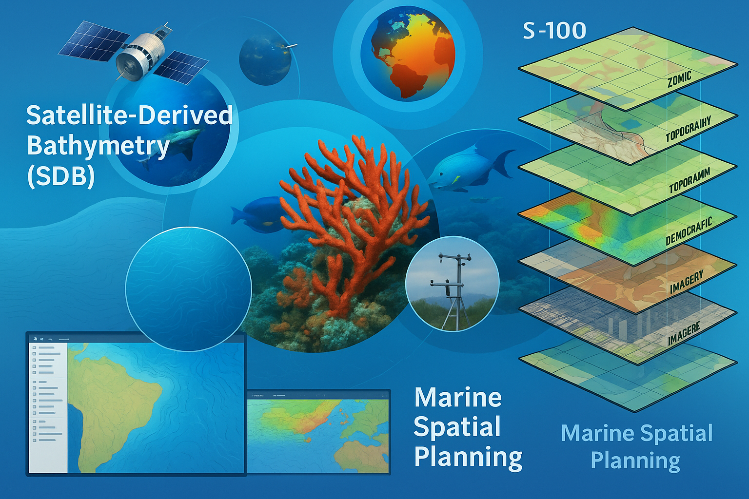
Satellite-Derived Bathymetry
Gain accurate underwater depth data using high-resolution satellite imagery.
Our Satellite-Derived Bathymetry (SDB) solutions provide cost-effective mapping of coastal and shallow waters.Ideal for hydrographic surveys, environmental monitoring, and coastal development.Fast, scalable, and efficient—without the need for on-site surveys.
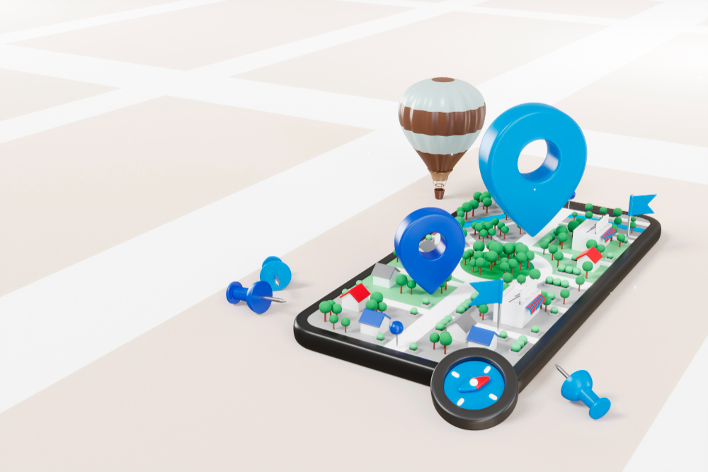
Mapping and GIS Solutions
Unlock the power of location intelligence with our comprehensive Mapping and GIS (Geographic Information System) solutions. We provide end-to-end services tailored to your business needs—from spatial data collection and analysis to custom map development and geospatial visualization. Whether you're in urban planning, logistics, environmental management, or infrastructure development, our solutions help you make data-driven decisions with accuracy and efficiency.
Geospatial Information Portals
At HYCAM we offer powerful Geospatial Information Portals that provide seamless access to high-resolution maps, spatial datasets, and analytical tools. Whether you're in urban planning, environmental monitoring, or infrastructure development, our portals empower you to make data-driven decisions with precision.
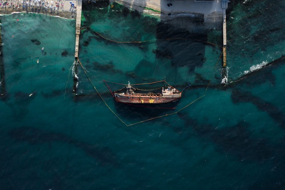
Hydrographic Surveying
Hydrographic surveying involves the precise measurement and mapping of underwater features.
We provide high-accuracy depth data, seabed mapping, and nautical charting for safe navigation.
Our solutions support coastal engineering, dredging, offshore development, and marine research.
Utilizing modern sonar, GPS, and satellite data, we deliver reliable, cost-effective results.
Inland Water Bodies Surveying
We offer detailed surveying of lakes, rivers, reservoirs, and canals to map depth, flow, and sediment levels.
Our inland water surveys support irrigation planning, flood risk assessment, and environmental conservation.
Using advanced sonar, GPS, and drone technologies, we ensure accurate and efficient data collection.
Ideal for government bodies, urban planners, and infrastructure developers.
Shallow Water Surveys
Our shallow water surveys deliver precise depth and terrain mapping in coastal and nearshore zones.
Ideal for ports, harbors, estuaries, and river mouths where traditional vessels cannot operate effectively.
We use multibeam echo sounders, drones, and satellite-derived data for safe and detailed results.
Support dredging, infrastructure development, and environmental monitoring with reliable data.
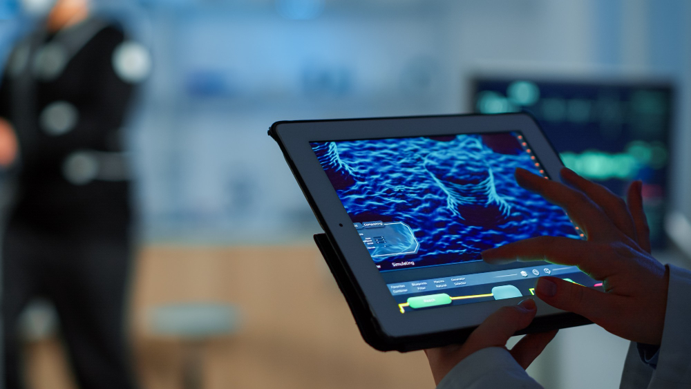
Software Solutions
We develop custom software tailored to geospatial, marine, and environmental applications.
Our solutions include GIS platforms, data visualization tools, and real-time monitoring dashboards.
From desktop to cloud-based systems, we ensure secure, scalable, and user-friendly experiences.
Empower your operations with intelligent, automation-driven, and analytics-ready software.